
After a good night’s sleep and chance to acclimatise, it was time to wake up at the crack of dawn and resume our trek to Everest Base Camp.
The plan was now to head towards the famous Namche Bazaar, the town on the edge of a cliff, 3440m. Namche Bazaar is also the “capital” of mountaineering in the Khumbu valley, a great place to shop for equipment, acclimatise and mingle with fellow adventurers. We would spend two nights here to acclimatise, and then head toward Tengboche, the monastery village on top of a mountain, 3860m.
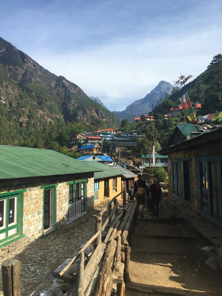
Loading up with carbs and hydrating ourselves at breakfast, we then set out once again.

The morning starts with a steep incline to get those muscles warmed up!
The gateway, called a Kani Gate, marks the official entrance to the famous Khumbu Valley and Sagarmatha National Park. Sagarmatha being the Nepalese name for Everest, translated as Peak of Heaven. The Tibetan name for Everest is Chomolungma, Goddess Mother of the World.
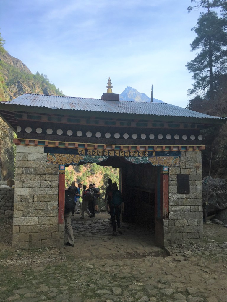
This Kani Gate is also known as the Jorsalle Gate. The Khumbu Valley that it marks entrance into isn’t just famous for being home to Everest, Lhotse (4th highest mountain in the world), and other significant peaks. The valley is also sacred to the Sherpa. Walking through it you will notice prayer wheels, and intricately designed ritual blessings all around.

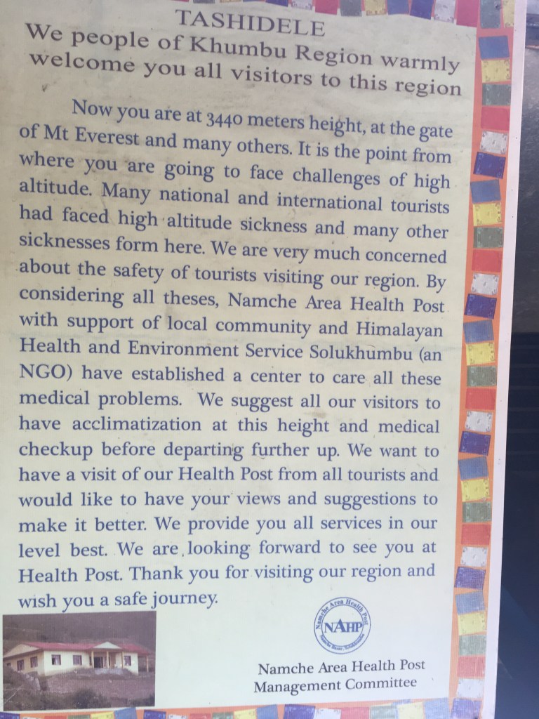
So we bravely and cautiously heeded the warnings of the altitude sickness signpost, and pressed on into the valley.


Further along into the trek, you will eventually come across the most famous suspension bridge of all time, the Tenzing Hillary suspension bridge. Named after Sir Edmund Hillary and Tenzing Norgay, the first people to summit Everest, 1953. This is also the final suspension bridge before Namche Bazaar.
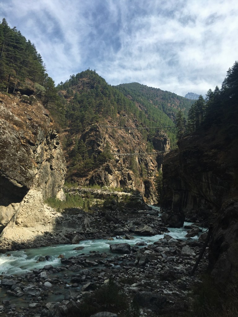
This bridge had also featured in the 2015 movie, Everest. The anticipation and excitement had been building up!
This is by far the highest bridge you’ll encounter. There’s a fair bit of distance between you and the ground….so if you’re scared of heights, brace yourself!

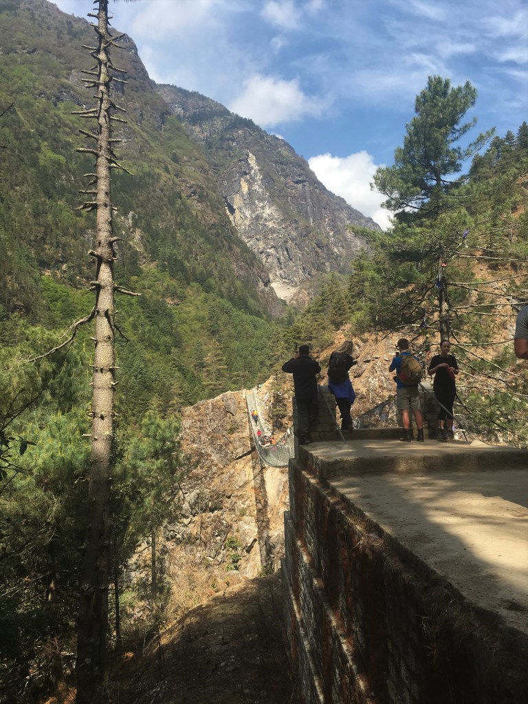
Give yourself a pat on the back after crossing that or take your time and go back for more pictures!

The fading away of the Dudh Koshi river from view signals the change in altitude and height climbed. At some point the trees and greenery will also disappear, but that’s still a fair bit of a climb ahead.
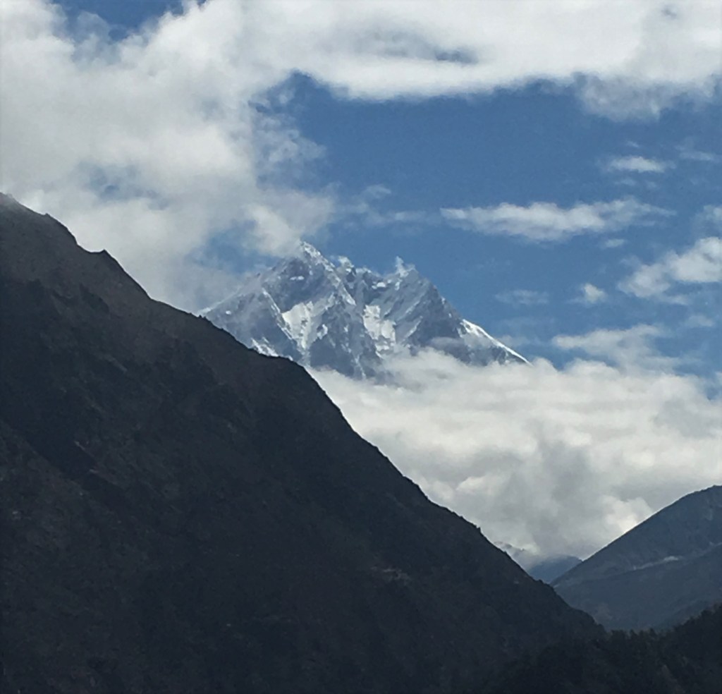
Along the trail comes a vantage point that you can climb up to, which sometimes gives a view of Everest in really clear weather. In our case we had some clouds coming in fast, however a bunch of us climbed up quickly to see if we could get a chance to see it. We were in luck, and had our first view of Everest with our very own eyes for the first time! I was too awe inspired to take a decent photo. However Chris, being the professional he is got this beauty.
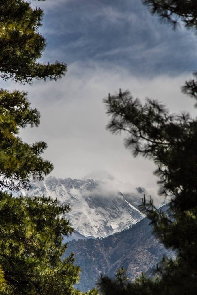
The peak of Everest can just about be seen hiding in the misty clouds behind the ridge of another mountain.
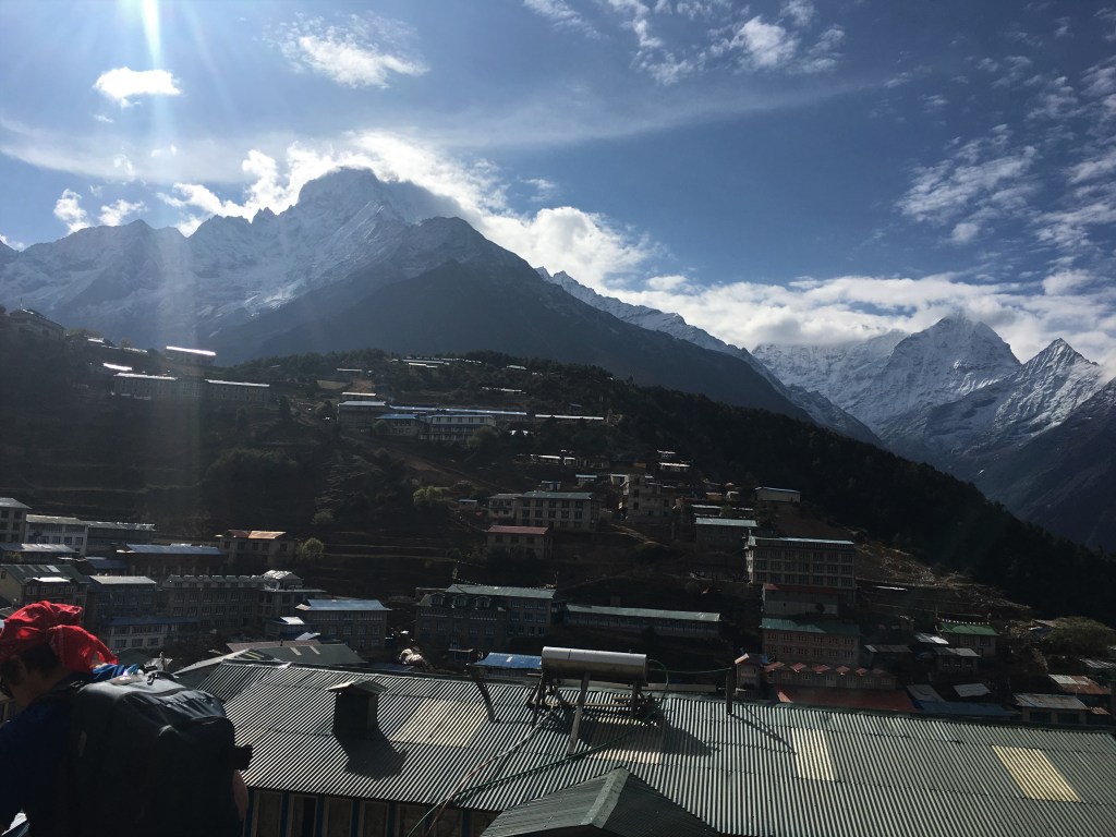
Namche Bazaar is in sights now! The staircase winds up along the mountain face and into the town. Not sure what happened to the map poster though….Yeti maybe?

Giving it one final effort and push we climbed up the steep set of stairs and entered the bustling Town of Namche Bazaar.

Namche Bazaar is surrounded by towering mountains and ridges.
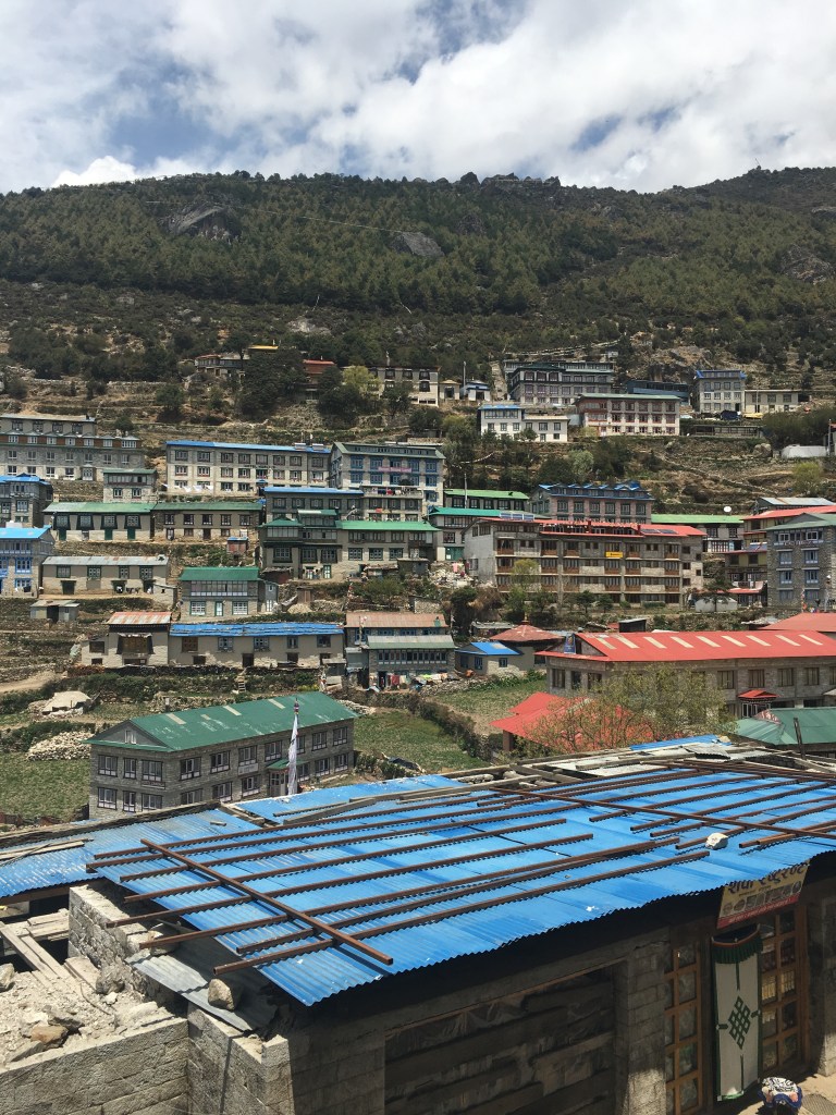
The different coloured roofs add to the scenery and picturesqueness of the town.
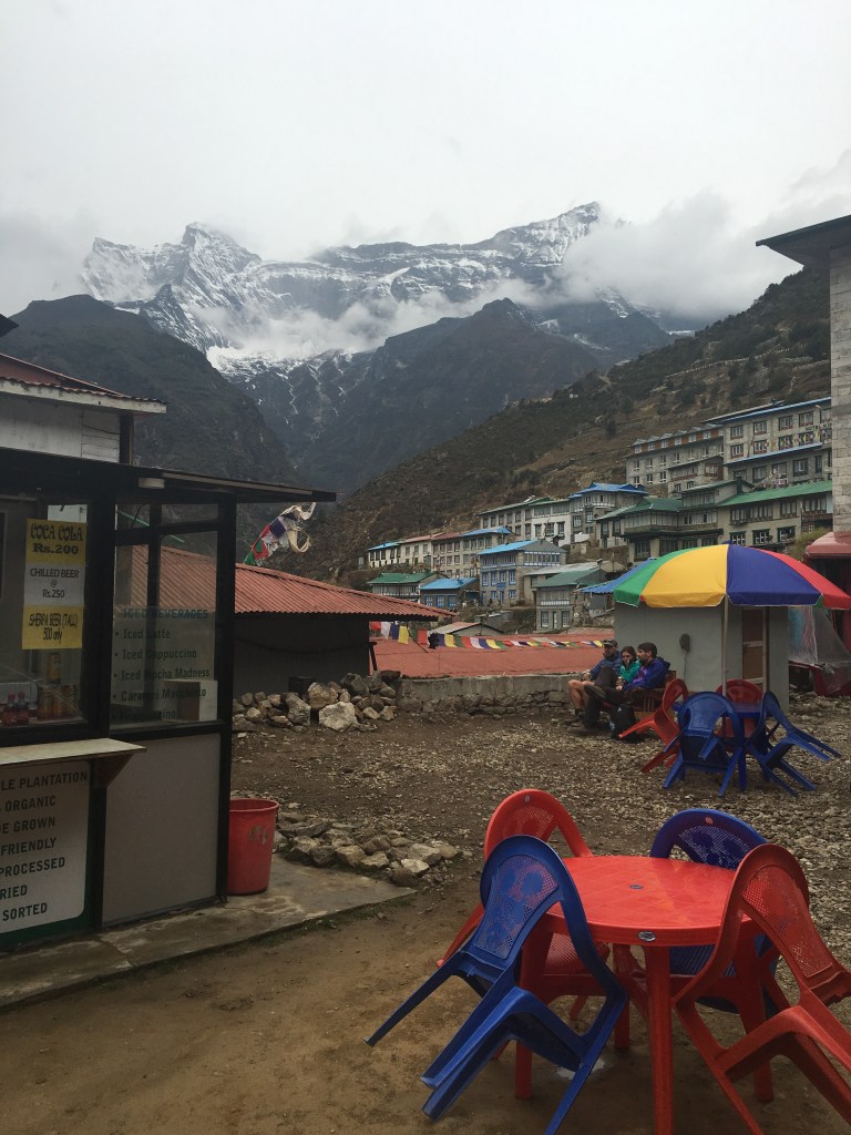
Namche Bazaar can feel like a maze at times, especially as different areas are located at different heights! The bazaar part of the name really does hold true though with all the different shops and stalls to visit and see.
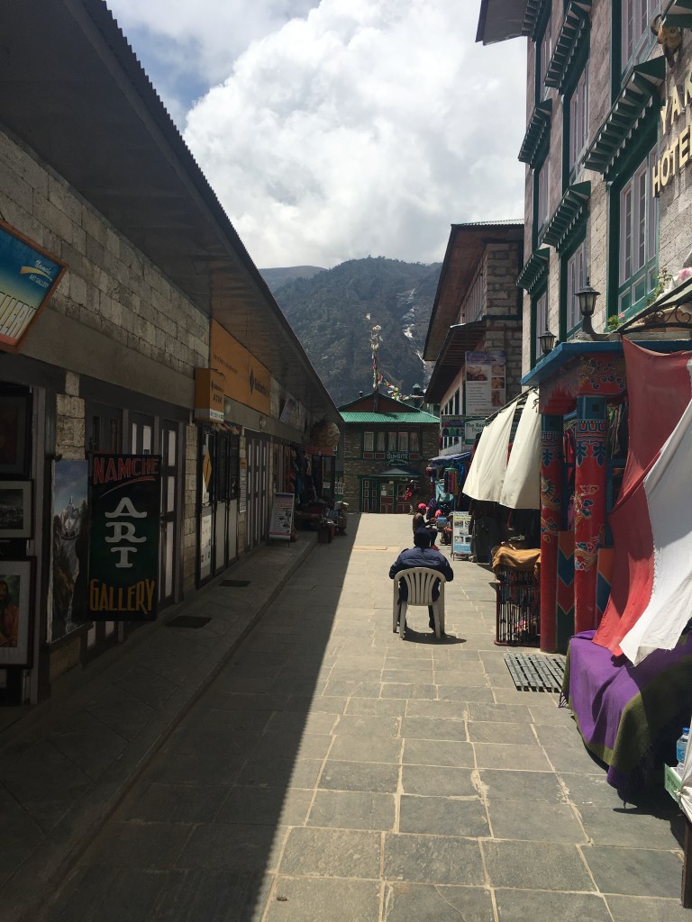
There’s cafes, pubs, restaurants, equipment shops, book stores and more.
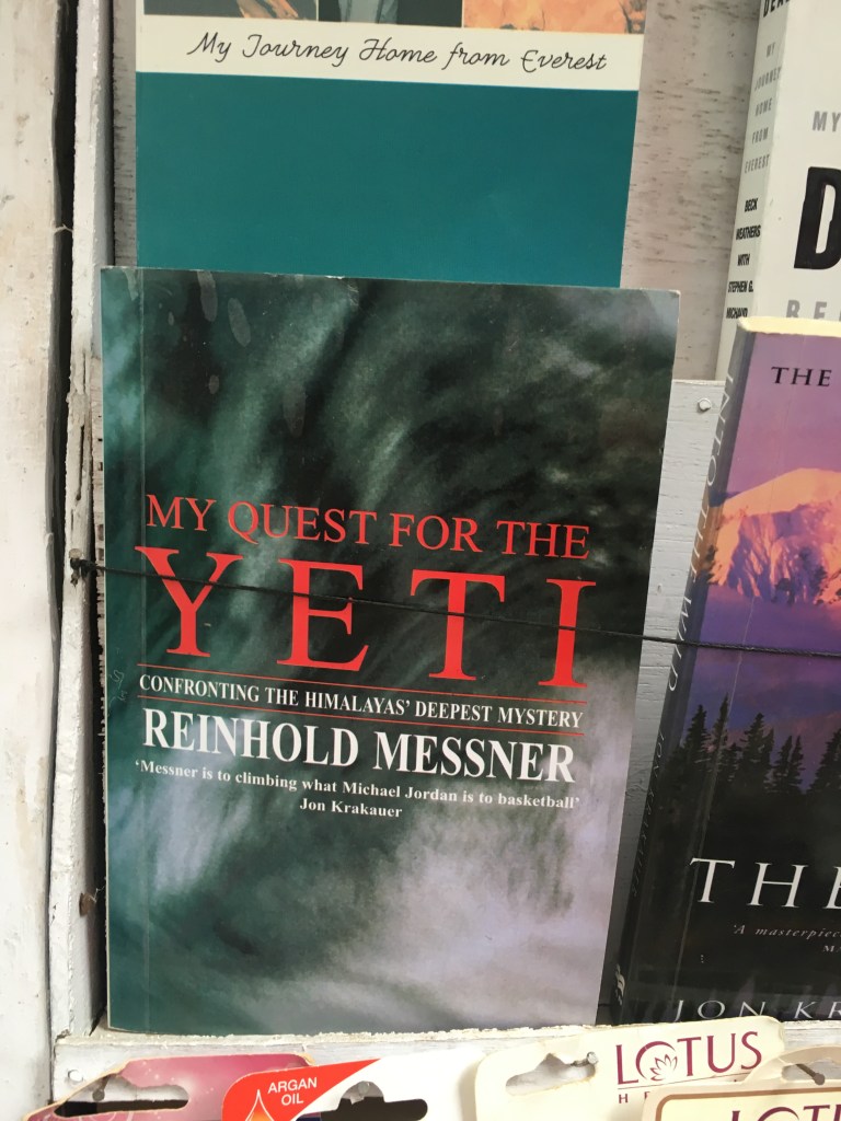
The Yeti is a big deal in the Himalayas. Some locals swear to its existence.
The legendary mountaineer Reinhold Messner himself also set out to find the mystical beast. I found his book here.

The local pub restaurant is well worth a visit. It serves as a central hub and focal point for passing by expeditions and mountaineers.

Inside you will find memorabilia, messages and flags from all around the world for their Everest Base Camp Trek.
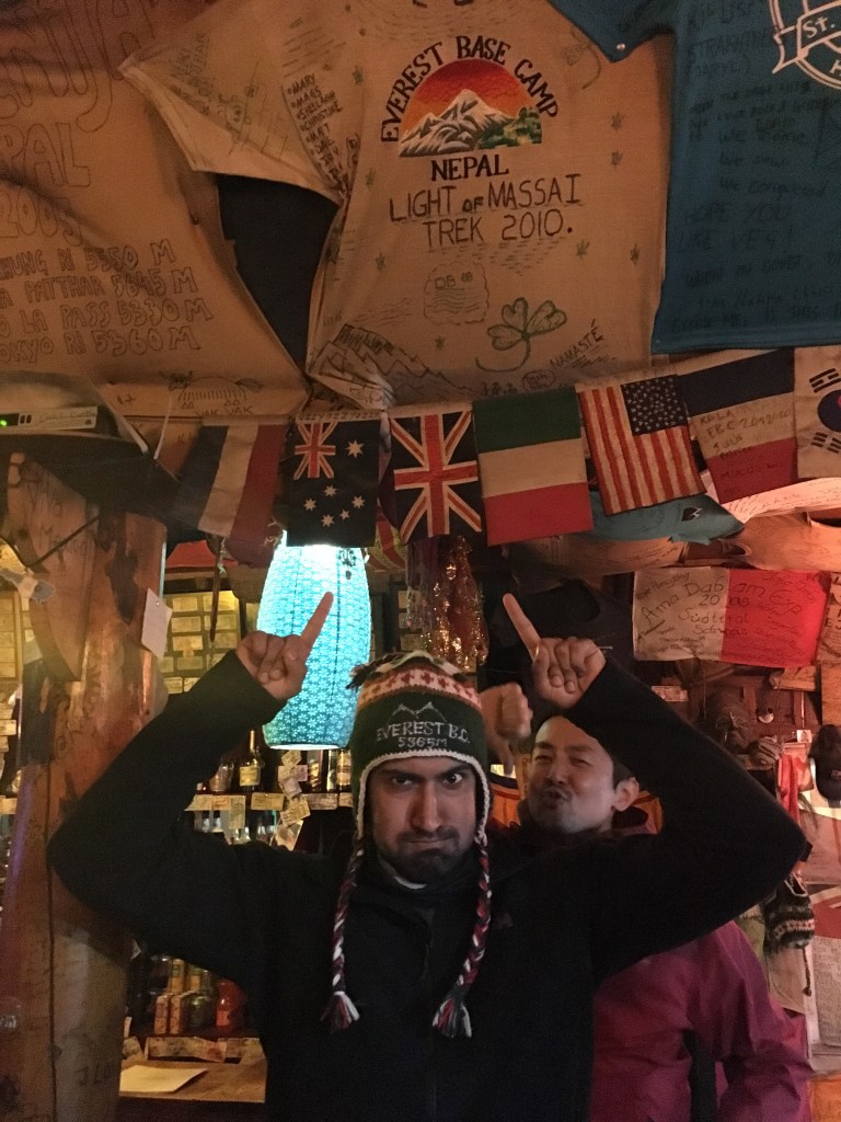
They also show this really informative and inspiring old school movie about Everest. I mean what other place to watch it!

People start to gather around the stove, with their hot drinks, fleeces on, and everyone just gets into the mood.

After exploring around, we headed back to our tea house for the night.
My room had a decent view!


Of course the most important part of acclimatising, playing cards!
We rested for the night, tomorrow would be a day of acclimatising and hiking up and back down.
Waking up to this lovely view of John’s backside uhhh I mean mountains was a great way to start the morning!
Today was all about climbing up in altitude to acclimatise, and then go back down to Namche to sleep the night.
Climb high, sleep low is the key piece of advice you hear anytime you’re high altitude mountaineering!

Chris was getting into his photoshoot mode. The results are seen below!

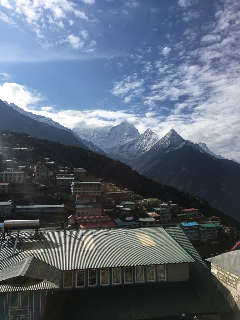
The climb up also gives the opportunity for some birds eye view of Namche Bazaar. So you get to really appreciate this beautiful place and its unique setting.

The summit of the acclimatisation day hill is marked by these three pillars. They have some interesting inscriptions on them.


Further along the track, which leads outside the town and towards Everest Base Camp is a memorial to the legend himself, Tenzing Norgay.

We climbed back down and rested for the night, this would give us a much better chance of being acclimatised, and ready for the next big push up.
The next day we would push on to the monastery of Tengboche, located on top of a moutain itself, which would be a 600m climb to get up to.

The trail begins with two mammoth mountains in view. Unfortunatly some clouds came in, but on the right is Ama Dablam 6,812m and on the left, far in the distance is Lhotse, the 4th highest mountain in the world at 8,516m.
A zoom in view of Lhotse.

Ama Dablam’s unique shape hidden partially behind clouds.

As the trek goes on during the day, we start to see more of these giants starting to appear. Snow capped and towering into the blue sky.

This also meant Lhotse’s face became more visible, distinctly unmissable in the distance.
We were now closing in to the final ascent up to Tengboche.
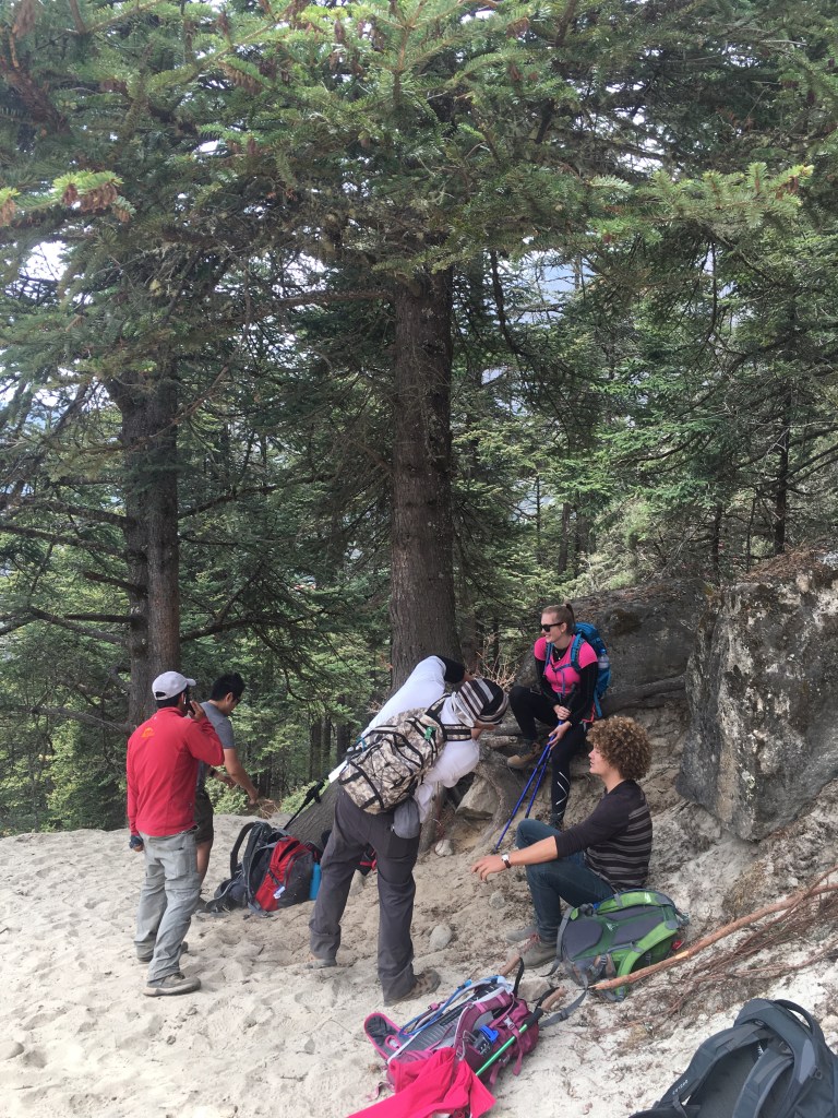
The team was getting a good stretch in because we had a 600m climb up to the monastery village of Tengboche, with less oxygen in the atmosphere now to spare!
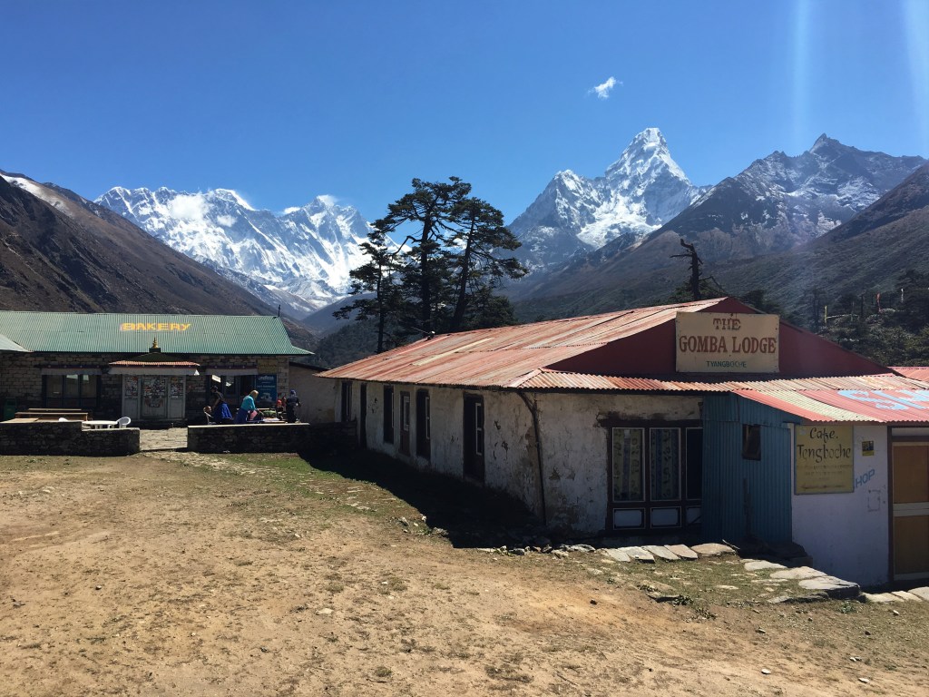
After a relentless slog uphill for 2 hours, we had made it to the mystical monastery of Tengboche.
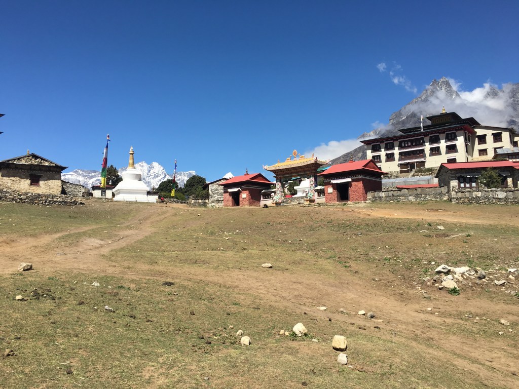
All that’s here is the monastery, a tea house for accommodation, and a bakery!
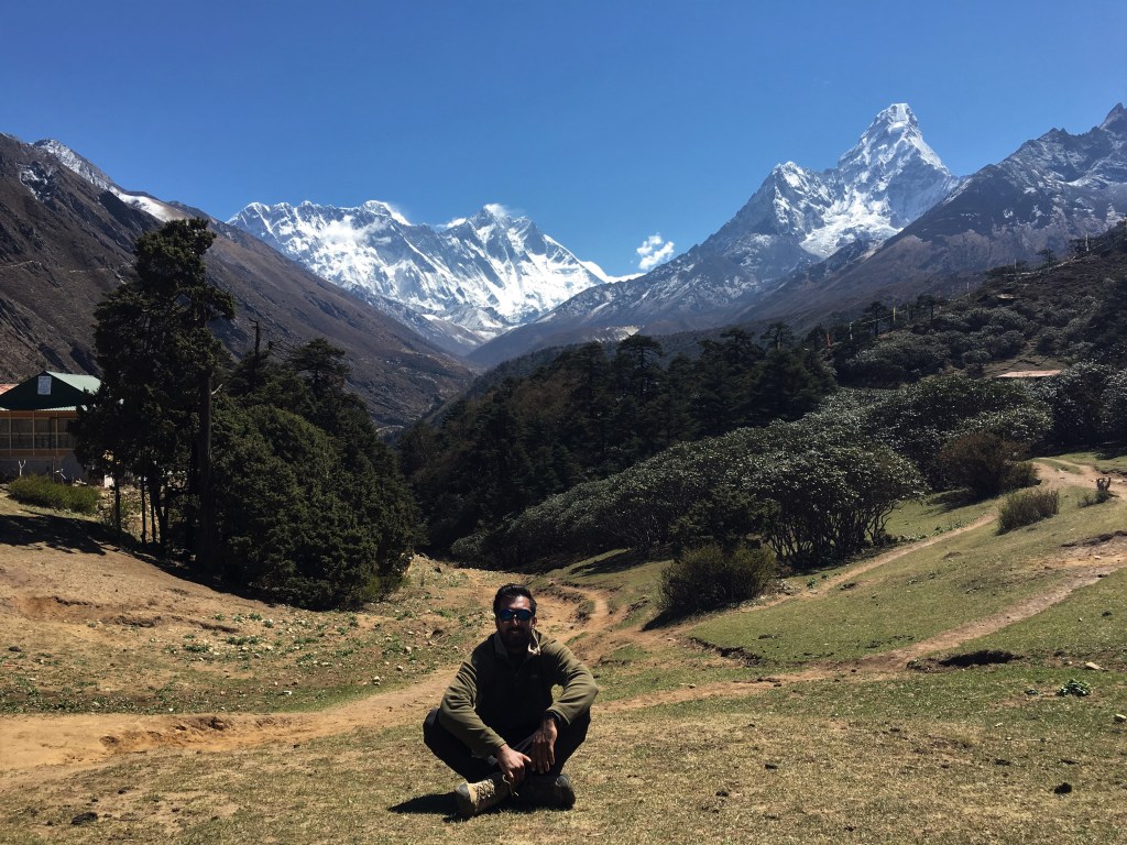
Oh and of course the view of Ama Dablam, Lhotse, and Everest’s summit peaking out from behind the plateau of Lhotse.
Unable to contain my excitement, and having wobbly legs from the climb up, I took this time to sit down and get a picture with Everest!
Tengboche is truly a remarkable place, with spirituality in the air and scenic views unrivalled.

There’s also football pitch where the local monks go to unwind. Being able to speak a shared language allowed me to strike up some conversations and eventually got them to agree on having a football match with us! Check it out on Karl Watson’s Film on our trip!
Playing football at nearly 4000m meant us mere mortal tourists had to sub out every 5 minutes.

The sun was setting on our adventurous day, with it some beautiful views to remember it by.


That wraps up part 2!
By the end here, the beard was starting to grow, the hair getting messier. We were acclimatising well and really settling in. Which was a good thing, as coming into part 3 is where we started getting up to serious altitude.
The headaches and altitude sickness was starting to show across the team. The trees and shrubs were no longer to be seen. Only glacial mountains and rugged wild terrain.
